
Guides
Three walk through a task, step by step. The fourth explains what the map is showing you. All written by the rider who built the app. For what each part of the app does, see Features; for a quick answer, try Support.
 Before the trip
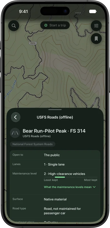
Prepare your iPhone for offline navigation
Download your state, save what you need offline, and test it all in airplane mode while you still have signal.
Read the guide →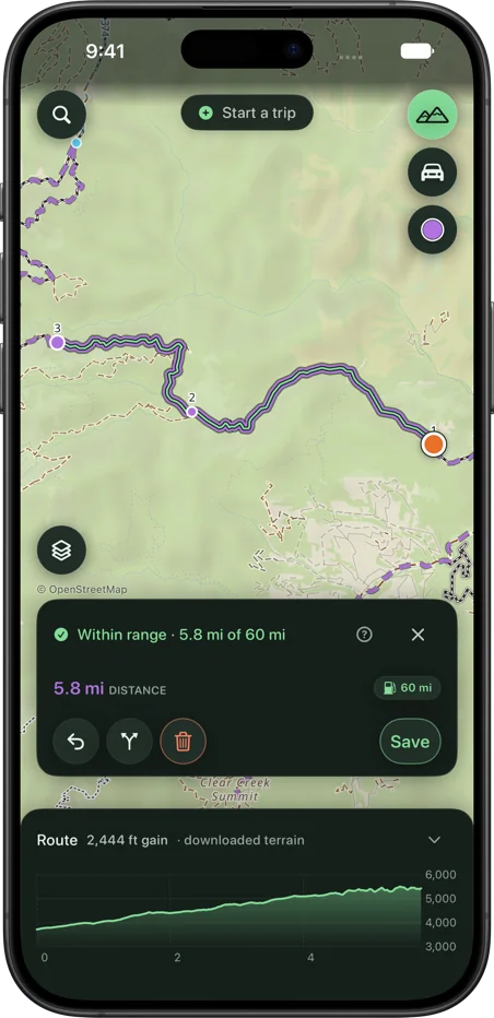 Planning
Plan a route without cell service
Yes, anywhere you’ve downloaded. Planning works the same as at home: it snaps to roads and trails and shows the miles, the climb and your fuel.
Read the guide →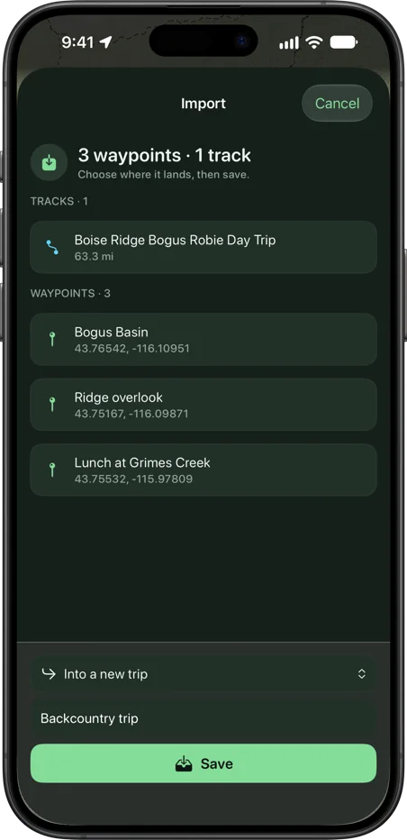 Routes
Import a GPX route
Get the file onto your phone, check it on the review sheet, and ride it with no signal.
Read the guide →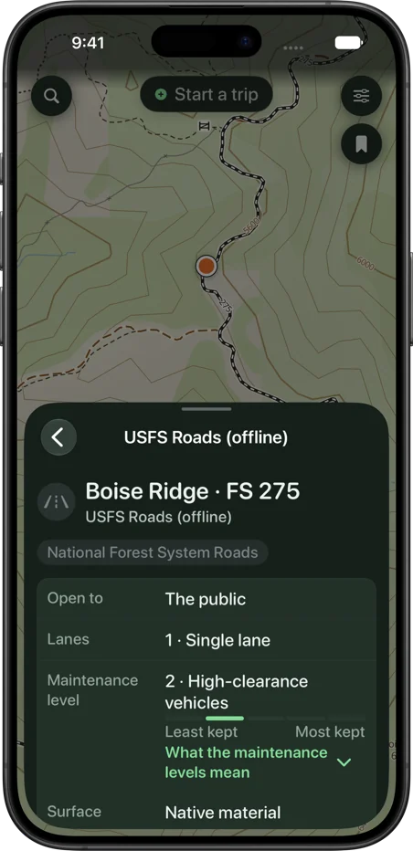 Reading the map
Forest Service roads, MVUM and public land
Tap a road, trail or the ground for its number, who it’s open to and whose land it is. What the MVUM and land shading mean, and what the map can’t know.
Read the guide →