How do I read Forest Service roads, MVUM and public land?
By Chad, founder · Updated October 21, 2026
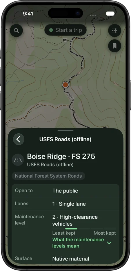
Tap a road or trail, tap the ground. Here’s what the numbers, the MVUM and the shading mean, and where the map stops and the sign takes over. In the app, the Map Key (touch and hold the Layers button) explains every line and color.
What do I see when I tap a road or trail?
Tap a road or trail for the number on the sign, the vehicles it’s open to and its season. A road or trail on the motor vehicle use map also names its forest and ranger district. Forest Service trail cards fold open the published scales: trail class, grade, tread width, allowed uses and trail type.
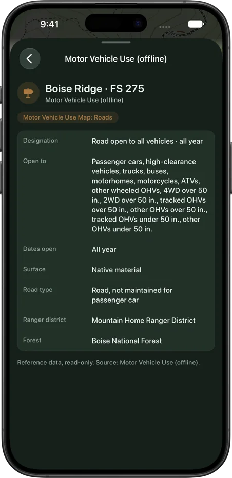
What is the MVUM?
The Forest Service’s Motor Vehicle Use Map: which National Forest roads and trails are open to which vehicles, and when. SK Maps carries it in the 44 states with National Forest, and it comes with every state download. Check the posted MVUM for the forest you’re in; the sign at the gate wins.
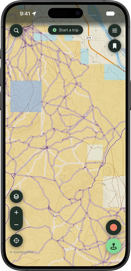
Does SK Maps show BLM roads?
Yes, as BLM routes with their travel-plan numbers, in the 14 states where BLM publishes them.
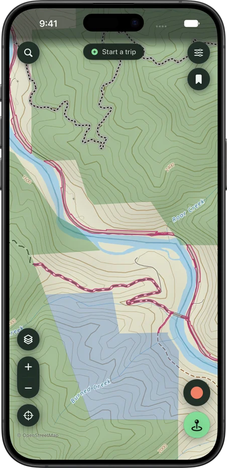
What does the land shading mean?
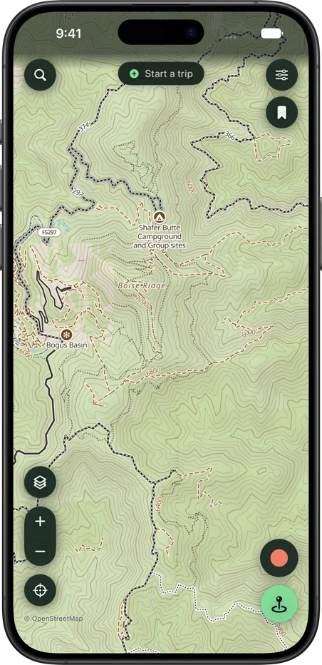
Public land is shaded by the agency that manages it, in 48 states, and with Public Land on, tapping the ground names who manages the land under your finger. The shading says who manages the land, not that you may be on it or that the road across it is open. Unshaded land is private, or has no manager in the data; tap it to check.
What are access easements?
Recorded public access across private land, published by the Forest Service, BLM, Army Corps, Park Service and Fish and Wildlife, in 49 states. The outline can run wider than the road; the recorded document and posted signs govern.
Will the route planner keep me on roads open to my vehicle?
In a motorized mode (Overland or Moto/OHV), a road or trail the Forest Service or BLM lists is used only if it’s open to your kind of vehicle. Its season isn’t checked, and roads the agencies don’t list can’t be checked at all, so read the signs as you ride.
What can’t the map know?
A gate closed yesterday, a closure order, a fire restriction or a permit. The map data is updated regularly: when an app update brings new data, a downloaded state’s map, roads and routing update themselves over Wi-Fi, and Offline Maps offers the rest with an Update button. It’s still a picture of what the agencies last published. The sign at the gate wins.
Planning a ride on these roads? Plan a route without cell service shows what the planner does with them.
Get SK Maps
SK Maps: Offroad GPS is on the App Store for iPhone and iPad, free to try for two weeks on the annual plan. More in the guides and support.