Why I built SK Maps
By Chad, founder · October 21, 2026
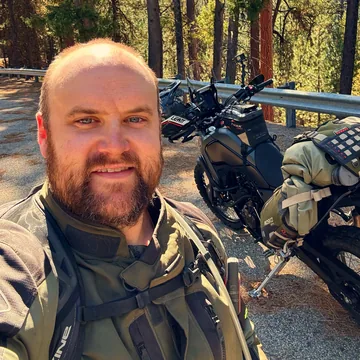
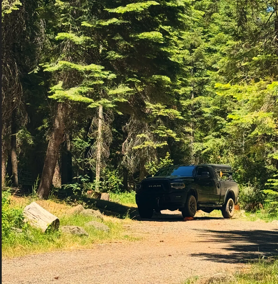
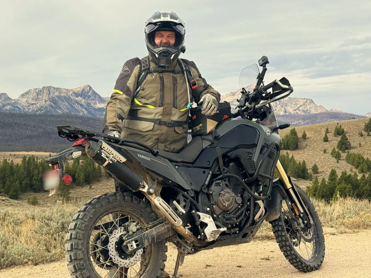
I’m a software engineer who rides ADV and takes the truck out overlanding and camping. I wanted one map that works for both, so I built it.
The itch
Out on a Forest Service road, I wanted to know what the road was and whether my truck or my bike belonged on it. Unless someone had written about it, I couldn’t tell. Now you tap the road and it says.
Planning
I wanted to see the hard line and the main line together. Instead I redrew the whole route every time I wanted to try an alternate. That became forks and options.
The rally
At a rally they handed out GPX files, and the same questions kept coming up, for me and everyone riding with me: how much further, how steep, how long to lunch, what does that alternate add? So I put the answers on the route.
The campsite
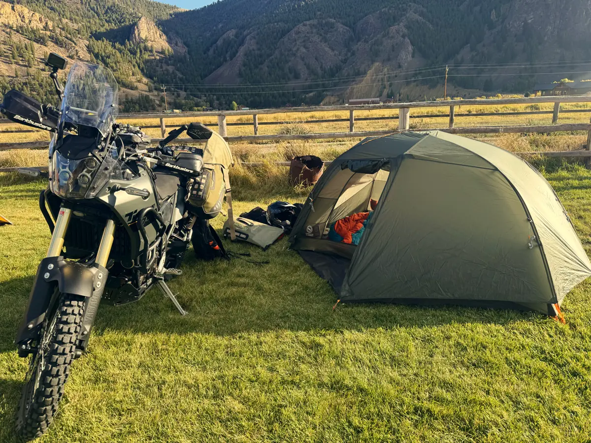
Passing campsites on a loose Forest Service road, looking for where to sleep, I wanted to mark them without letting go of the bars. So it works by voice, signal or not.
Every feature started as a real moment
The rest came the same way.
- Whole state offline: Losing signal. Boxes drawn around a ride don’t cover the day you actually ride.
- Logging areas: The convoy on the alternate. A road I’d driven before, full of logging trucks that day.
- Buy it once: Paying every year. I wanted to own my map, not rent it, so you can buy this one once.
There’s no single dramatic reason. It’s built out of real days of riding.
Try it
SK Maps: Offroad GPS is on the App Store for iPhone and iPad, free to try for two weeks on the annual plan. See what it does or start with the guides.